class-pro-1
Live link to this app: https://skip1113.github.io/class-pro-1/views/index.html
Trails on Tap
Participants:
Kamy Leeret Skip Khamvongsa Tammy Richardson
APIs we intend to use: 1.) Hiker Project Data API: https://www.hikingproject.com/data 2.) Brewerie API: https://www.openbrewerydb.org/ 3.) Geocoding API: https://opencagedata.com/api

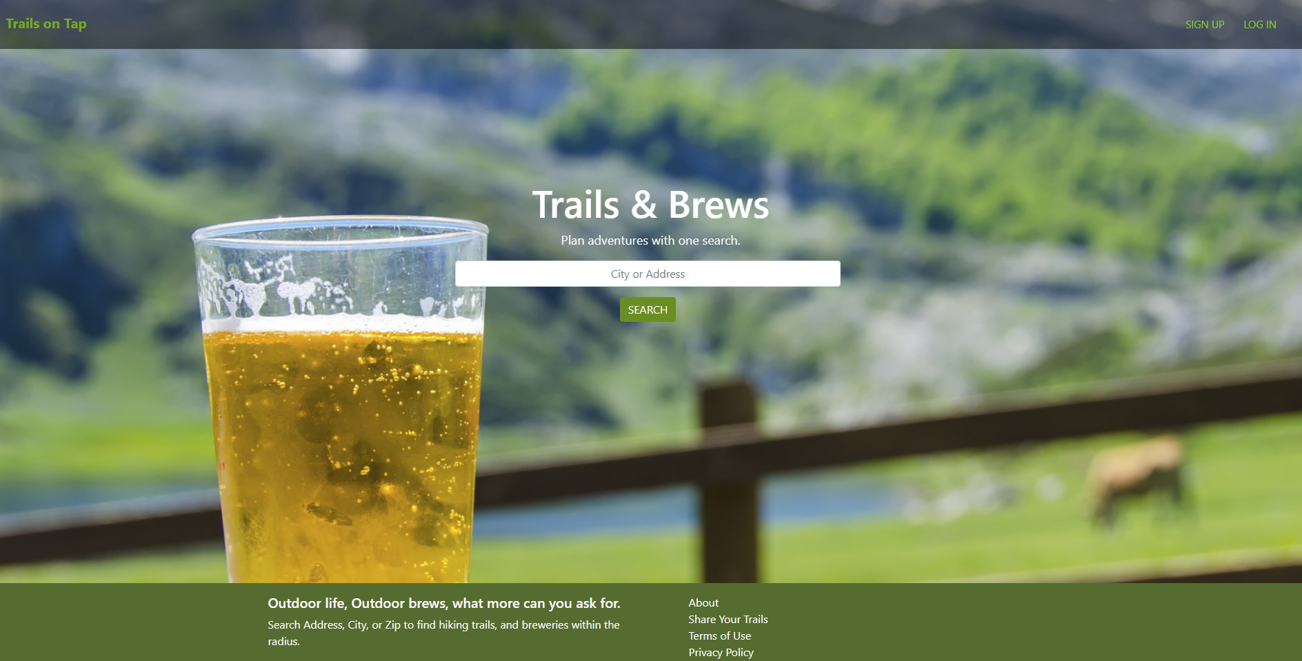
Our Vision As developers we want to create an app that will allow the user to search for local hiking trails and breweries withhin a radius of where the user searches for. Our intentions for creating this was to have a simplified experience for a user and to search for their two favorite activites to create a plan.
Features:
Trails: Search by City, State, Zip Code, or longitude and latitude. Results:
- Name of the trail
- Location
- Difficulty level
- Ratings
- Summary
Breweries: Search by City, State, Zip Code, or longitude and latitude. Results:
- Name of the brewery
- Address
- Type
- Phone number
- Website
USER STORIES:
1) Audience: people who like to hike and drink beer 2) Helps people plan their hikes around favorite breweries or restaurants. 3) Geographically connect hiking trails to brewery locations: -Provide trail directions to trail heads -Directions to brewery venues -Trail and brewery ratings -Difficulty levels 4) Essential User Stories: As a developer I want to provide… a) A website where you can search for hiking and breweries at the same time. b) I want to provide menu or beer ratings. c) I want to provide difficulty levels for hiking trails d) Provide hiking ratings or reviews. e) Route planner (bar hopping) f) Show maps or provide directions g) As a user I want to be able to plan my hiking adventures with one app – with ease!
Organization:
- Created base layout and empty div’s to render search results.
- Tested jQuery clicks and value submits.
- Implemented Ajax calls to the API’s.
- Took data from each API and looped through results and appended to the empty div.
TECHNOLOGIES USED:
- JavaScript
- AJAX
- API’s
- Openbrewerydb
- HikingProject
- Mapbox
Overcoming Problems:
It made it difficult to use the hiking api to be able to search for a city since it would only let you search my longitude and latitude. We needed to find a way to convert a city to long and lat to be able to search from the hiking api. Our solution was to find a geography api that does that and implement it into our code to make this app user friendly.